QGIS is the world’s best open source (and free) desktop GIS software and it just keeps getting better.
Want to learn where in the world is (and how to pronounce) the name of the latest QGIS release? Click here!
QGIS rolls out new versions every 4 months complete with a suite of fixes or useful functionality enhancements. While this is quite frequent there is also an annual Long Term Release (LTR) version which is maintained until the next LTR is released providing some stability for integration into corporate systems and is the version we use for our training courses.
Check out the QGIS changelog for a detailed account of the latest enhancements to QGIS. As you will see there are many of them, which is testament to the developer community giving up their time or sponsorship dollars provisioning for some paid developer hours. Highlights for me include the additions to the map composer such as the ability to draw graphical images from your map canvas (instead of only geometry features from the workspace), dynamically linking tables and labels via HTML when using the map atlas and georeferencing PDF (or TIF) exports.
Also – get ready for a big shake up when version 3.0 comes along, which plans to completely re-design the interface and major workflows for an even better user experience (no plans for a release date yet but developers have been encouraged to commit time to it post version 2.16).
It also was time for another training course, and we recently had another bunch of keen trainees learning the QGIS ropes over two days. Our QGIS training course for environmental practitioners is a great way to hit the ground running using the biggest and best open source (and free) desktop GIS software in the world.
Whether you’re a newbie to GIS or in need of a software changeover this course caters for both. There is also a half day to run through custom workflows or data issues that are specific to your needs.
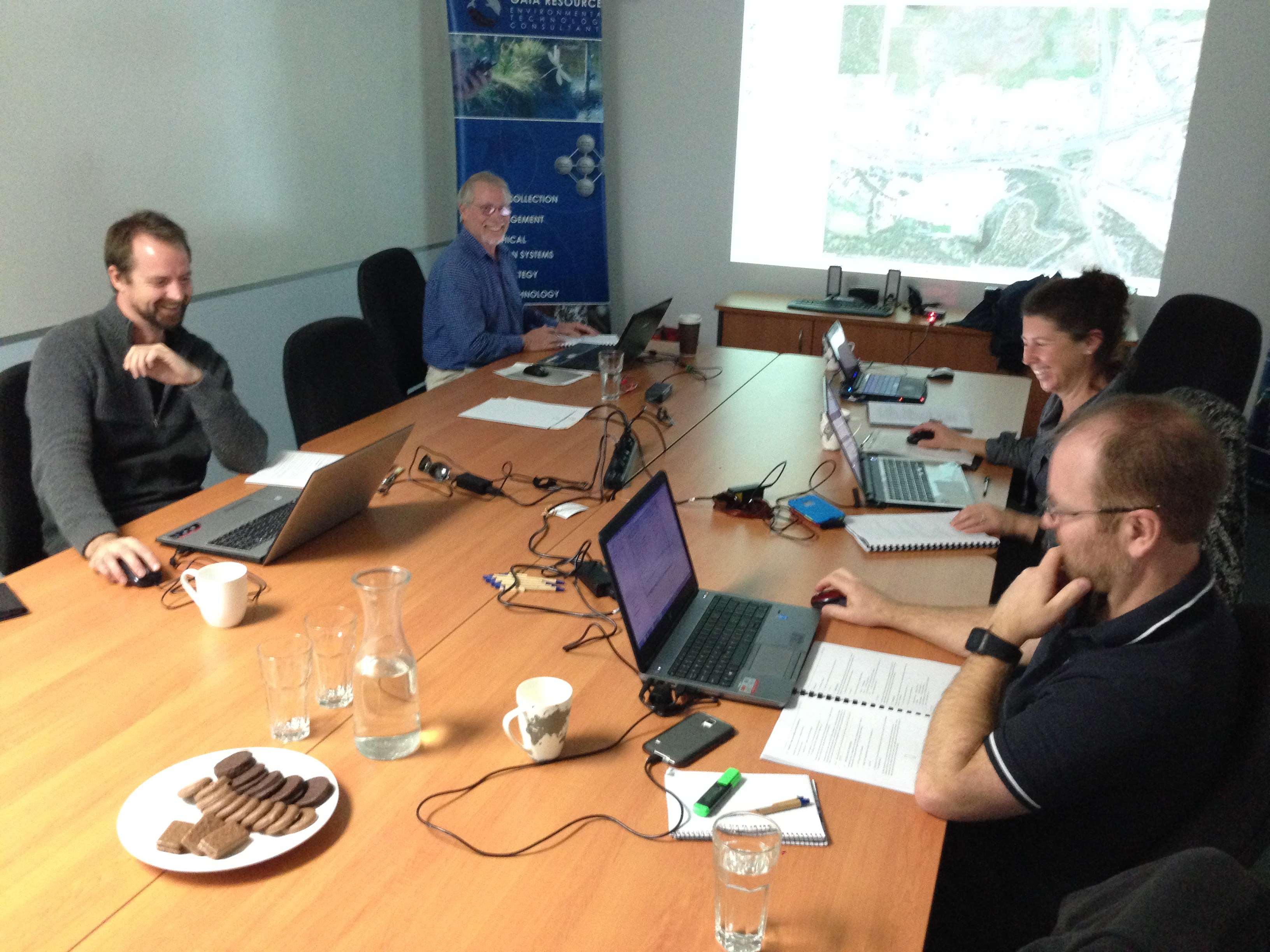
More QGIS trainees from regional shires, Natural Resource Management and the Emergency Services industries
There is another course planned for October so please get in touch with me directly if you would like to register your interest by emailing training@gaiaresources.com.au or calling our office on 9227 7309. If you would like to know more about QGIS and how we can help roll it out for your group or organisation please drop me an email, or start a conversation with us via Facebook, Twitter or LinkedIn.
James
Comments are closed.