In June, 2014 I spent two weeks providing training to South West Catchments Council (SWCC) in Quantum GIS (QGIS) and GRID (you can read more about the GRID product here). The course involved training of all of SWCC’s internal staff and external partners in both GRID, their online Geographical Information System (GIS) and an introductory course for the QGIS desktop mapping software. Put together, these two systems provide a complete GIS package for SWCC.
 GRID’s data entry / editing page
For higher end mapping and processing needs SWCC decided to change their commercial desktop GIS to an open source desktop GIS to save on per seat licensing and maintenance costs. We recommended that they migrate to QGIS which is free to download, free to install and free to update. The QGIS open source project has a considerable developer following, which includes a number of highly skilled individuals who donate their time to fix bugs and add functionality to the software, which is built on a model of peer production and collaboration.

QGIS has improved in leaps and bounds over the last few years in user friendliness and functionality and here at Gaia Resources we have been developing an introductory course with an environmental focus. The course provides participants with locally relevant environmental data to learn how to interrogate, process and map spatial information. The course normally runs for one and a half days, with quite an intense schedule – running through the functionality of QGIS from data thematics, editing and interrogation, data imports and conversions to some basic geo-processing tools, plugins and mapping techniques.
The training for SWCC was delivered as a two day course, with the first morning dedicated to GRID training. The training was more of a refresher for internal staff – a good opportunity to discover the full functionality of GRID and how it can be used in concert with QGIS.
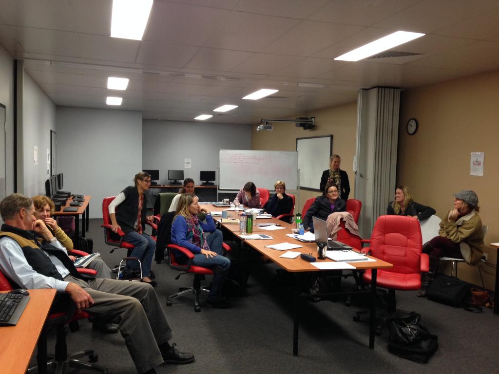 SWCC Staff deliberating before hitting the screens for some practical exercises
GRID has been designed as not only an easy to use, intuitive system but also with users external to SWCC in mind, who I was also training. Groups with external accounts can log in to GRID and use the full functionality, but can only view and edit their own data. Entering data directly into GRID ensures data validation and conformation to SWCC’s internal data standards – this removes unnecessary and time consuming double handling of spatial data. I received some very positive feedback on GRID from the external participants, with much of it directed to the intuitive user interface, simple workflows and the fundamental GRID premise of data centralisation (i.e. removing the temptation of storing spatial data on personal hard drives).
The QGIS training was also received with a lot of enthusiasm. There was a general consensus amongst the internal and external staff that QGIS was much easier to use than other leading commercial desktop GIS packages – participants found it hard to believe that it was free! While there is some functionality missing compared with the more established commercial software products available, and some workflows that could be improved, all we had to do was remind ourselves that it is free. Our experience with QGIS is that for these cases, a work around already exists – or will do at some stage in the near future – with updated versions available for download regularly.
 QGIS interface with training data
Participants were also encouraged by the prospect that it would be possible to pick up the software with minimal head scratching after prolonged periods of little or no use. This is important in NRM space as often staff only use GIS for end of financial year reporting – moreover GRID can provide some staff with up to 100% of their GIS needs with QGIS only required for geoprocessing or high end mapping for those with a need to do more ‘power’ work.
So what was the standout functionality of QGIS after four two-day training sessions with around 36 people?
As already mentioned, the majority of participants commented that it is the easiest desktop GIS they have used. QGIS comes with some pre-installed tools but participants were impressed with how easy it was to install plugins for added functionality and that new tools are automatically added to the plugin repository as they become available, which is updated every time you access the plugin manager. Openlayers was a very popular plugin, with the ability to be able to access imagery quickly and easily being a huge bonus for people.
 There are 276 plugins currently available to increase the functionality of QGIS
Mapping took a little more time for participants to get used to. It operates a little differently to other commercial desktop mapping software in that you can create multiple maps from one workspace. The premise behind this way of operating is a good one but it can be a little confusing at first, and it is an area we’ve paid particular attention to in our QGIS course.
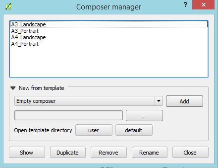 The QGIS Composer Manager – multiple map templates for one workspace
From SWCC’s perspective, the GIS training for SWCC was a huge success, with internal and external staff throwing their support behind both GRID and QGIS as viable solutions to their spatial needs. We had a lot of positive feedback on the course, and personally I found it to be rewarding to get out to spend time with our clients and help them to solve their own spatial questions. And the staff did too, as this quote from Joanna Hughes-dit-Ciles, the SWCC Coastal and MERI Program Manager, indicates:
“Seeing staff and external stakeholders smiling during the course, and getting excited about GIS mapping was a true reflection of the quality of the course and of ease of use of both softwares.”
For us, this is a good start to our commercial environmental QGIS training – and yes, you read that right. We’ve taken a lot of feedback from running the course a number of times, and we’re updating the training materials as a result as well as keeping up with QGIS software updates (QGIS 2.4 has recently been released). We’re looking to put the first of the open invite commercial QGIS training courses out once we’re happy with the revisions, and we’ll make sure to publicise it on the blog and our other social media feeds.
In the meantime, you can email me directly here, leave a message below, or contact us via Twitter or our Facebook page, for more details of the courses we’ll be running.
Comments are closed.